
Search Marlborough Streets by Address
A street search has several jobs. The City assessment card can identify the assessed owner, parcel, situs, and mailing address. The Registry can show a recorded transfer or other recorded interest. A local voter or street list can supply permitted registration evidence. The Library's address-organized ward lists can add a historical household lead. Those records answer different questions, so no single hit proves who occupies every unit on a street.
Begin with a complete street address and keep the spelling and house number as entered. For a multi-unit building, a single parcel may serve several residences. Record the parcel or map identifier before moving to a name search. That identifier helps when the mailing address is outside Marlborough, when an old deed uses a lot description, or when a current number does not match an earlier one.
- Search the address in Marlborough's AxisGIS assessment database. Capture the property location, assessed owner, mailing address, map or parcel reference, and deed reference shown on the card.
- Open the same parcel through the City's GIS Mapping resources. Use parcel boundaries, roads, labels, and available layers to make sure the correct site was selected.
- Search the owner, property, or address in the Middlesex South land-record index. Save the grantee, grantor, recording date, book/page or document number, and legal description.
- For current registration context, request a narrowly dated Marlborough street or voter list from the City Clerk. Public voter fields are limited, and registration does not establish ownership or a complete household.
- For an earlier address, ask the Library for its ward list or house-guide material, then compare the address with a deed reference and map before treating an old entry as the same parcel.
That sequence is the useful address chain: address → parcel → owner of record → deed reference → local voter list → historical directory evidence. It leaves a trail that can be checked later instead of turning a street search into an unsupported name list.
Marlborough Parcel Cards by Street
The Marlborough Assessment Database is the first city source for an address-keyed search. Its official sample card documents property location, owner name and address, mailing address, map ID, account and alternate parcel identifiers, deed reference, GIS ID, assessment values, use and zoning, neighborhood, acreage or square footage, and permit or inspection details. The live application did not expose a fixed text list of every search label, so an exact current address should be tried first, followed by the owner, parcel, or map options the live screen provides.
Keep the situs address separate from the mailing address. A Marlborough parcel can have an out-of-city mailing address, a post-office box, an institution, or a management address. The card identifies the assessed owner of record and local assessment context. It is not a title opinion and should not replace the Registry document when the question is legal ownership history.
- Parcel
- A defined piece of land in the municipal assessment system, commonly tied to a map, account, or GIS identifier.
- Situs address
- The physical location of the property. It can differ from the owner's mailing address.
- Plat
- A recorded plan or map that depicts lots, boundaries, or rights-of-way. Registry plans can clarify a street-side parcel pattern.
- Criss-cross directory
- A reverse or street section that begins with an address and points toward a household or business entry, if that volume includes one.
Note: Record the card's assessment year when inspecting a live parcel because the public landing page does not state a universal refresh date.
Marlborough GIS Street Geometry
The City's GIS program maintains the spatial material used in AxisGIS and the ArcGIS Online Interactive Map Gallery. For a named street, the map helps distinguish a parcel that actually shares a boundary from a parcel merely across a road, rail line, water feature, or public right-of-way. It also supplies the parcel geometry that an assessment card alone cannot show.
Turn on parcel boundaries, labels, roads, aerial or historical layers when they are available, then open the subject card before reviewing adjacent parcels. GIS layer availability and dates vary by map, so save the source and access date with any observation. The City lists its GIS office at 135 Neil Street; the office can be a useful fallback for a parcel-history or GIS-data request when a public layer does not answer the question.
Note: A parcel across a street is not necessarily an abutter, so map geometry should be checked before a street-side relationship is described.
Marlborough Deed Search Fields
Marlborough belongs in the Middlesex South district, not Middlesex North or Worcester. The Middlesex South MassLandRecords search offers recorded-land and registered-land modes. The following confirmed controls make it possible to narrow a broad party or property result before it reaches the stated 1,000-result limit.
| MassLandRecords field | Use for a street search | Format or limit |
|---|---|---|
| Search Type | Choose recorded name, document, book, property, recorded date, unindexed property, or a registered-land search. | The available mode changes the matching fields. |
| Business/Last Name | Enter the party surname or entity after an assessor card identifies the owner of record. | Optional name field. |
| First Name and Middle Name | Separate same-name parties. | Both are optional. |
| Party Type | Narrow the role when the portal presents that control. | Its full option list was not captured in official text. |
| Second party name row | Use Advanced search to pair a buyer, seller, lender, or other party. | Optional additional name group. |
| Document Types | Limit a result to the relevant recorded instrument. | Advanced control; dynamic choices vary. |
| Towns | Set the municipality to Marlborough. | Optional town control. |
| Recorded Date From / To | Bracket a known transfer or construction period. | Optional date range. |
| Like and Compressed | Use only when compatible with the selected search mode. | Portal controls, not substitutes for checking records. |
The Registry describes online searching, viewing, printing, and downloading as free at present. Results and images are informational. A certified copy follows a different request route after locating the book/page or registered-land document number. The Registry office in Cambridge also offers an in-person route when an online result needs confirmation.
The Registry's Middlesex South search instructions show the name and deed-search mechanics used to narrow a Marlborough street directory trail.
Using a town filter, date range, and party role keeps the result tied to the particular Marlborough address rather than a similarly named party elsewhere in the district.
Marlborough None Deed Tip
Older work needs a different approach. The current online recorded-land name index is described as covering 1976 to the present, while scanned grantor and grantee material provides a route to earlier work. When reviewing the 1976 through 1986 period, do not limit a document-type search to the word deed. Registry instructions warn that imported deed entries from that period may carry the document type none
.
The pre-1976 route is not one single digital name box. Select the period, use a first-name search only to reach the relevant scanned index page, inspect nearby pages, record the book/page, and retrieve the underlying instrument. This extra check matters when a street has changed names, numbers, or municipal context.
The Registry's statewide search-mechanics page documents the historical index path and the special document-type warning.
Scanned index volumes are a bridge to the next document reference, not a substitute for reading the deed, plan, discharge, or other instrument itself.
Marlborough Address Records at City Hall
Address evidence is also held by municipal offices. The City Clerk is the local keeper for street listings, voter materials, city-census preparation and many municipal filings. Marlborough's public-record guidance names real-estate assessments, tax information, building permits, street listings, voter lists, and board records among the categories city offices hold. A focused request should identify the street or parcel, a date range, and the exact record category instead of asking for all information about a person.
Inspectional Services directs permit applicants to OpenGov and publishes application material, but the research did not confirm a public permit-result table or fixed search fields. A permit file can still connect a named applicant or owner authorization to a project, issue date, inspection, or certificate. Request the known address and date from the City when a direct public search does not produce the file.
The City's Inspectional Services page is the starting route for permits and related address records.
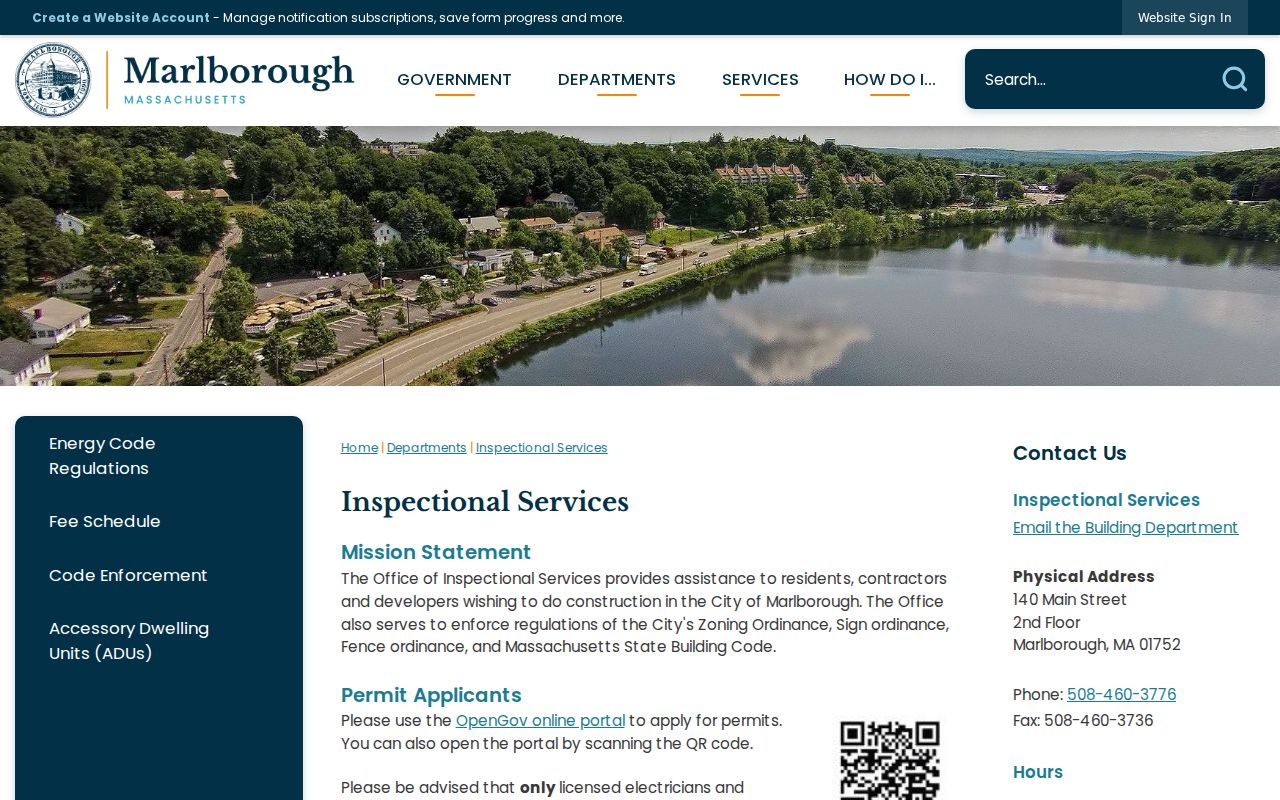
Permit records are address and project evidence. They do not establish a full current list of people at the property.
Old Marlborough Street Numbers
An old number should be treated as a research question, not silently converted to a modern address. The Historical Society records nineteenth-century growth on Chestnut, Lincoln, Broad, South, and related roads, followed by expansion in French Hill, West Village, Chestnut Hill, Prospect Hill, and Spring Street. Part of Southborough was annexed to Marlborough in 1843, while the 1866 Hudson boundary change reduced Marlborough. A historic trail may therefore cross a present municipal line.
No official source located a citywide Marlborough renumbering date. Compare the 1794, 1803, 1835, 1900, and 1948 maps with a ward list, the historic property survey, the assessor parcel, and a deed's legal description. Retain both forms of an address in notes until the parcel relationship is supported.
The City's historical map collection provides the dated map set used for that comparison.
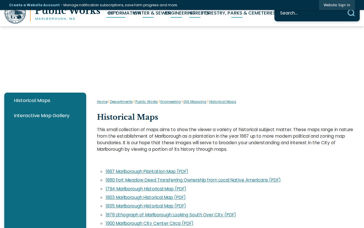
A map can explain an old road or district label, but the parcel and recorded legal description remain the stronger links between historic and current records.
Note: Keep the earlier address in the research record until a map, parcel, and deed reference support any modern-address match.
Marlborough Ward Lists by Address
Marlborough Public Library preserves city directories from 1867 to 1961 with gaps, but the street-directory value comes from a different shelf: its ward lists are organized by ward address. The Library's List of Residents is alphabetized by last name. That contrast is useful. A name section can lead to a street, while an address-organized ward list can test whether a person appears at a particular historical location.
Ask Library Reference for a ward list, house guide, reverse directory, or street section for the needed year. Copy the printed street spelling, number, name, occupation, and household wording exactly, then compare nearby years. The historical collections themselves are described in the Marlborough city directories collection, where the source years and reading conventions belong.
Newspaper microfilm, cemetery transcriptions, yearbooks, and family material can provide a dated household clue when a directory volume has a gap. They should be matched to the street and time period rather than used to assume that a person owned the property.
Note: An address-organized ward list supports a registration or household lead, but it does not prove title or complete occupancy.
Marlborough Street Record Coverage
Use the source that answers the question at hand. Assessment, mapping, deed, voter, permit, and directory sources overlap at an address, yet each has a different keeper and evidentiary limit.
| Address record | Local keeper | What it can show | Access route |
|---|---|---|---|
| Assessment card | Marlborough Assessor | Owner of record, situs and mailing address, map/account/GIS references, values, and card-listed permits. | AxisGIS or Assessor office. |
| Parcel mapping | Marlborough GIS | Parcel boundaries, roads, labels, and available map layers. | GIS Mapping and ArcGIS resources. |
| Recorded instruments | Middlesex South Registry | Grantor, grantee, date, book/page or document number, legal description, plans, liens, and easements. | MassLandRecords, Registry counter, phone, or email. |
| Street or voter list | Marlborough City Clerk / elections | Permitted voter fields or address-organized street-list context. | Narrow local request for a stated ward and year. |
| Permits and board files | City departments | Applicant, owner authorization, project, and issue or inspection dates when public. | OpenGov route, office inquiry, or public-record request. |
| Ward list or house guide | Marlborough Public Library | Historical address, household, business, or occupation lead. | Reference appointment and collection request. |
The Registry FAQ explains how recorded and registered land use different references, and its recorded-land FAQ is a useful check before treating an address index as a full title history.
Cross-checking the Registry reference against the assessor's parcel and the document image helps keep one similarly described Marlborough property from being confused with another.
Marlborough Street Directory Limits
A street directory is not a complete roster. A parcel card can name an assessed owner while a mailing address points elsewhere. A deed records an instrument and parties, not every occupant. Voter records show only legally public registration information, and registration can lag a move. Historical directories and ward lists have gaps, abbreviations, and omissions. Protected voter data, confidential-voter information, and address-confidentiality records are not a street-search result.
The Massachusetts Address Confidentiality Program provides a substitute address and mail forwarding for qualifying participants. It is one reason an absent address should never be treated as proof that a person is not in Marlborough. Use records for personal, lawful research, verify claims with the custodian, and leave protected information alone.