
Marlborough ZIP Coverage
Official USPS and City address material confirm one postal ZIP for the incorporated City of Marlborough: 01752. Research did not locate an official source for a second ZIP serving the City, so a list with extra Marlborough codes would be misleading. The postal label is still only one address key. A deed may use a town and legal description, while an assessment card can distinguish the property location from where a tax bill is mailed. Use the full address to test the correct key for the question at hand.
| ZIP | Areas Covered | Post Office | Notes |
|---|---|---|---|
| 01752 | Marlborough city postal delivery area | Marlborough Post Office, 20 Florence Street, 01752-9998 | USPS phone 508-485-4726; postal geography is not city-limit geography. |
Nearby labels belong to nearby municipalities in official address examples: 01749 is Hudson, 01754 is Maynard, 01532 is Northborough, and 01581 is Westborough. Do not turn those examples into a Marlborough coverage list. Exact City boundaries or a 01752 realignment history were not located in the research. For an edge address, use the USPS exact-address result and then check the local parcel and the deed description.
Note: One confirmed ZIP is a postal finding, not a map of municipal jurisdiction or a directory of residents.
Marlborough ZIP Lookup Modes
The official USPS ZIP Code Lookup has three distinct modes. By Address returns delivery information from a supplied address. By City and State searches with a recognized city and state. Cities by ZIP starts with the postal number and returns recognized city information. Choose the direction that matches what is already known. A street address is the best starting point for an edge check; a ZIP-only result is best treated as a postal reference rather than a person search.
| By Address | Company, Street Address, Apt/Suite/Other, City, State, ZIP Code, then Find. |
|---|---|
| By City and State | City, State, then Find. |
| Cities by ZIP | ZIP Code, then Find. |
USPS asks users to use recognized city names for delivery. It also expressly says that a result does not confirm that a person or company is at an address. That warning makes this tool a postal verification step, not evidence of residence. Save the address entered and the date of the result before comparing it with a municipal or land record.
The official USPS lookup is shown below with the fields used for a Marlborough ZIP code check.
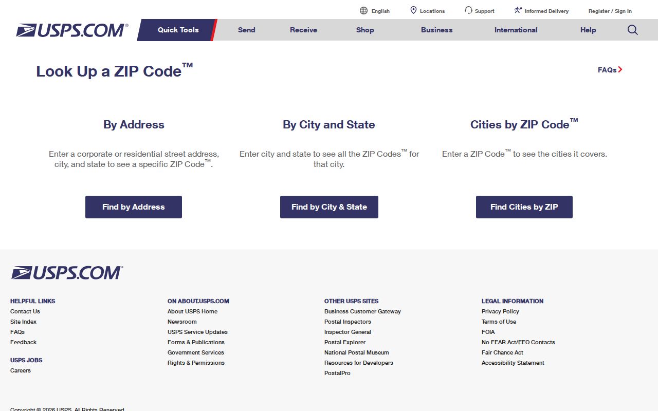
The screen supports the postal part of an address check, while a local property record supplies the separate municipal parcel context.
Marlborough ZIP Search Fields
A postal lookup can narrow a mailing question, but official systems do not all use the same field. The Middlesex South deed search uses towns, address or legal description, names, documents, and dates rather than a ZIP filter. Marlborough AxisGIS cards display a mailing address and ZIP, but the public landing page did not confirm a ZIP search mode. Do not claim that AxisGIS offers a ZIP filter without verifying the live application. Use an exact address, owner, parcel, or map field there instead.
Massachusetts Division of Occupational Licensure eLIPSE is a separate, confirmed example of a public search that includes City, State, and ZIP fields. It searches license information, not a resident roll, so it is best used to confirm a licensed individual or business record after an independently supported name or location is known. Its search options also include individual or business name, board, license type, and license number.
| Field | Where It Appears | Use and Limit |
|---|---|---|
| City | Massachusetts eLIPSE | Location filter for license search; not proof of a residence. |
| State | Massachusetts eLIPSE | Pairs with city or ZIP in a license query. |
| ZIP | Massachusetts eLIPSE | Confirmed filter for license records. |
| Mailing ZIP | Marlborough AxisGIS assessment card | Displayed address context, not a confirmed ZIP search field or proof of ownership. |
Massachusetts eLIPSE Find a License shows the confirmed ZIP filter available for this separate type of Marlborough search.
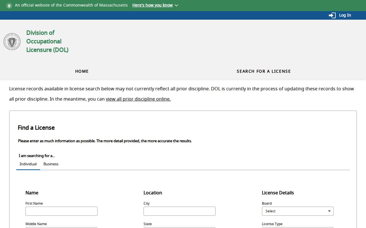
Its ZIP field is useful because it is documented, unlike an assumed AxisGIS ZIP search mode that the inspected landing page did not establish.
Searching Marlborough ZIP Records
Use postal, municipal, and land sources in sequence. The goal is not to create a roster from a ZIP. It is to keep each record in the form its custodian provides. A ZIP check can standardize an address before an AxisGIS search. The property card can then identify a parcel, situs, and owner-of-record context. Recorded land can add the legal description and recorded parties. Local street listings and voter materials have their own access rules and should not be treated as a complete household list.
- Enter the complete known address in USPS By Address and keep the returned postal label separate from any name assumption.
- Search the same address in Marlborough AxisGIS to record the parcel or map key and the situs address.
- Check the Middlesex South Registry by town, address or legal description, name, document, or date when a recorded land question remains.
- Use the local City Clerk request route for a legally public street list or voter record when a dated municipal list is necessary.
- Once the search has narrowed to a particular street, use the Marlborough by-street directory for the address-keyed workflow.
Names in an assessment or registry record answer different questions. An assessment card is municipal owner-of-record context, while a deed identifies a recorded transfer or interest. Neither is a complete proof of present occupancy. Keep a research log with the entered address, returned postal label, parcel identifier, and source date.
Marlborough ZIPs and City Limits
Postal delivery boundaries and City limits are different systems. The confirmed 01752 delivery label does not prove that an address lies inside the City, and a City address is not verified merely because the postal result uses a familiar city name. USPS handles delivery recognition. Marlborough assesses parcels within its municipal system. The Registry records land through the appropriate town and legal description. Each system may display a different part of the address without contradicting the others.
Research did not locate an exact boundary map for 01752 or a documented realignment. For that reason, avoid drawing an inferred postal boundary from a handful of results. Compare a full USPS result, a City parcel, and the recorded legal description when the location is near Hudson, Maynard, Northborough, or Westborough.
- ZIP versus ZIP+4
- A five-digit ZIP identifies a broad delivery area. ZIP+4 adds four digits for a smaller delivery segment; neither format proves who is at an address.
- PO Box ZIP
- A postal code assigned for post-office boxes. No separate Marlborough PO Box ZIP was confirmed in the research.
- Unique ZIP
- A postal code assigned to a single organization or address. No such Marlborough ZIP was confirmed in the research.
- Carrier route
- A delivery grouping used by the Postal Service. It is not a municipal boundary or resident list.
Marlborough ZIP Address Labels
Keep three labels separate in every ZIP code directory note. The situs is the physical property location used on an assessment card. The mailing address is where notices or tax material are sent, and it can be in another municipality or use a post-office box. The legal description is the land description in a recorded instrument, which can identify a lot, plan, or metes and bounds without using the modern street number. A USPS-verified ZIP belongs with the postal label.
This distinction is important in Marlborough because AxisGIS shows property location, owner, mailing address, city, state, ZIP, map or parcel identifiers, values, and permit details on its assessment card. The card is not a title opinion. For a transfer, lien, easement, or prior deed reference, use the Registry record. For street or voter-list context, use the proper City Clerk or election route and respect restricted information.
Note: Record the source beside each address label so a mailing ZIP is never mistaken for a parcel location.
Marlborough’s 1799 Post Office
Marlborough’s post office began in 1799. Local history places its early operation in private houses, then at Thayer’s Tavern and nearby stores. That pre-ZIP history explains why older newspapers, deeds, and directories may use a village, road, store, ward, or legal description rather than a modern postal format. Do not force 01752 into a nineteenth-century record. Preserve the historical address first, then use maps, ward lists, house guides, and deed descriptions to connect it to later records.
USPS’s Marlborough Post Office listing identifies the current 20 Florence Street facility and its postal services.
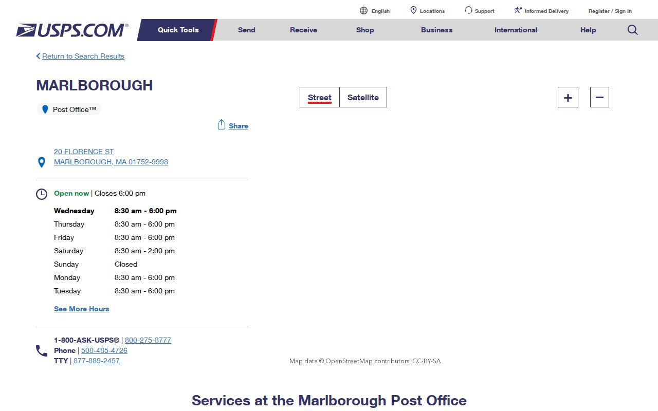
The modern location helps with postal service questions, while historical postal references still need to be read in their own date and street context.
Marlborough ZIP Edge Checks
At a municipal edge, use a short verification chain instead of guessing from a ZIP. First, enter the complete address into USPS By Address. Next, search the address in AxisGIS and capture the parcel or map identification and the City situs. Then search the Middlesex South Registry using the town or legal description shown by the property record. Retain the postal result separately in the notes. This order works even when a deed omits the current street number.
For historical residents, omit the modern ZIP from the initial search. Use the street or house guide, ward list, deed, map, and dated newspaper material instead. No official source found a citywide historical renumbering date, so a mismatch should be documented, not resolved by assumption. A named City department or custodian can clarify present records, while Library and Historical Society resources help bridge older address forms.
Postal Limits and Proof
The Marlborough postal reference has a narrow purpose: identify the confirmed postal code, show how USPS looks it up, and keep delivery information separate from municipal and recorded-land evidence. It does not establish residence, ownership, current occupancy, or City jurisdiction. Use public records for lawful personal research, and never use address information to stalk, harass, or harm another person.
When an official source does not publish a ZIP feature or boundary history, the accurate answer is to say so. Here, only 01752 is confirmed for the incorporated City, eLIPSE has a documented ZIP filter, and the public AxisGIS landing page does not confirm one. Those limits are more useful than a made-up map or a false directory list.